NEW
New Platform Launched!
Visit our main website for the latest SpatioNEX platform:
spationex.com →
This site contains legacy documentation and reference materials. Visit our new platform for the latest AI-powered geospatial intelligence solutions.
Enhanced AI-powered analytics with 90% accuracy
Real-time insights with daily satellite updates
Expanded coverage across 15 African nations
Advanced geospatial intelligence for climate resilience
Choose how you'd like to explore SpatioNEX
Latest Features & Capabilities
Experience our enhanced AI-powered geospatial intelligence platform with real-time analytics and expanded coverage.
Legacy Reference Materials
Access historical documentation, technical specifications, and legacy platform information.
Reference materials from previous SpatioNEX versions
Historical documentation
For historical context
Visit spationex.com
Historical reference of our geospatial solutions. These features have been enhanced in our new platform.

AI-powered analysis of satellite imagery to track deforestation and forest degradation with 90% accuracy.
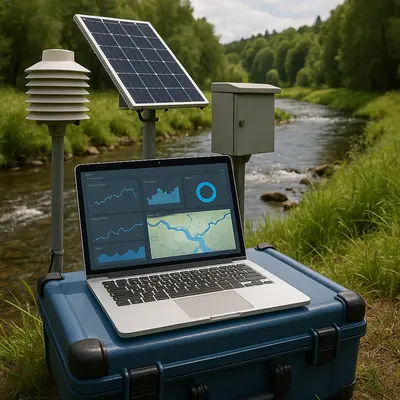
FLIPS flood-monitoring system and groundwater-resilience models for drought prediction.
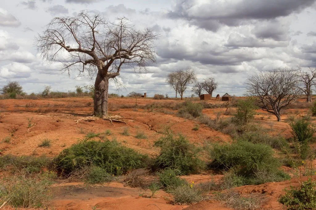
Early warning system for soil erosion and desertification using GEE-based data pipelines.
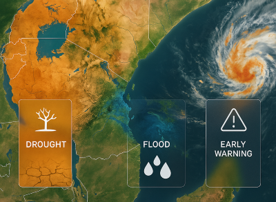
AI-powered predictive analytics for drought, floods and extreme weather events with 85% accuracy across East Africa. Integrated with national early warning systems.
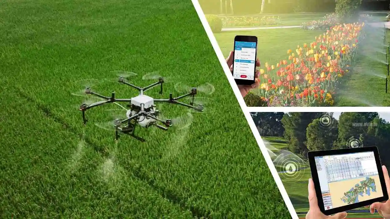
Precision farming solutions using satellite data and IoT sensors to optimize crop yields and resource use.
Customizable visualization tools aligned with Kenya AI Strategy 2025-2030.
Our new platform offers improved accuracy, real-time insights, and expanded coverage across Africa.
Explore New PlatformHistorical reference of our technical stack. Enhanced in our new platform at spationex.com
Reference architecture from earlier platform versions.
Sentinel, Landsat, and commercial imagery processed through Google Earth Engine and QGIS/ArcGIS pipelines